Here are maps covering the period of Richard Howells life and the American Revolution. Also, there are maps from the United Kingdom and specifically Wales.
| Maps of early family locations | ||
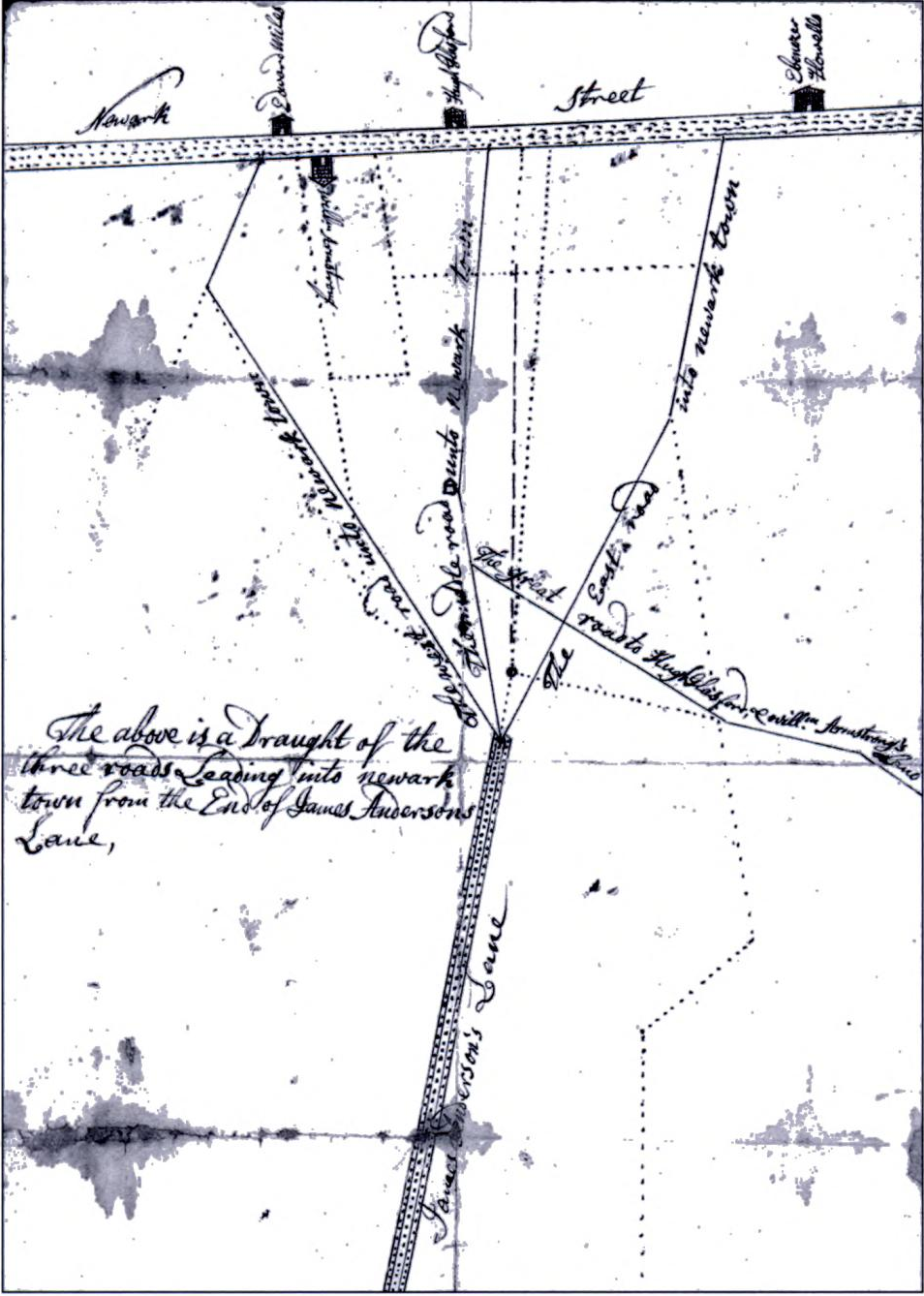 Newark De. -1736 |
||
| Colonial Period | ||
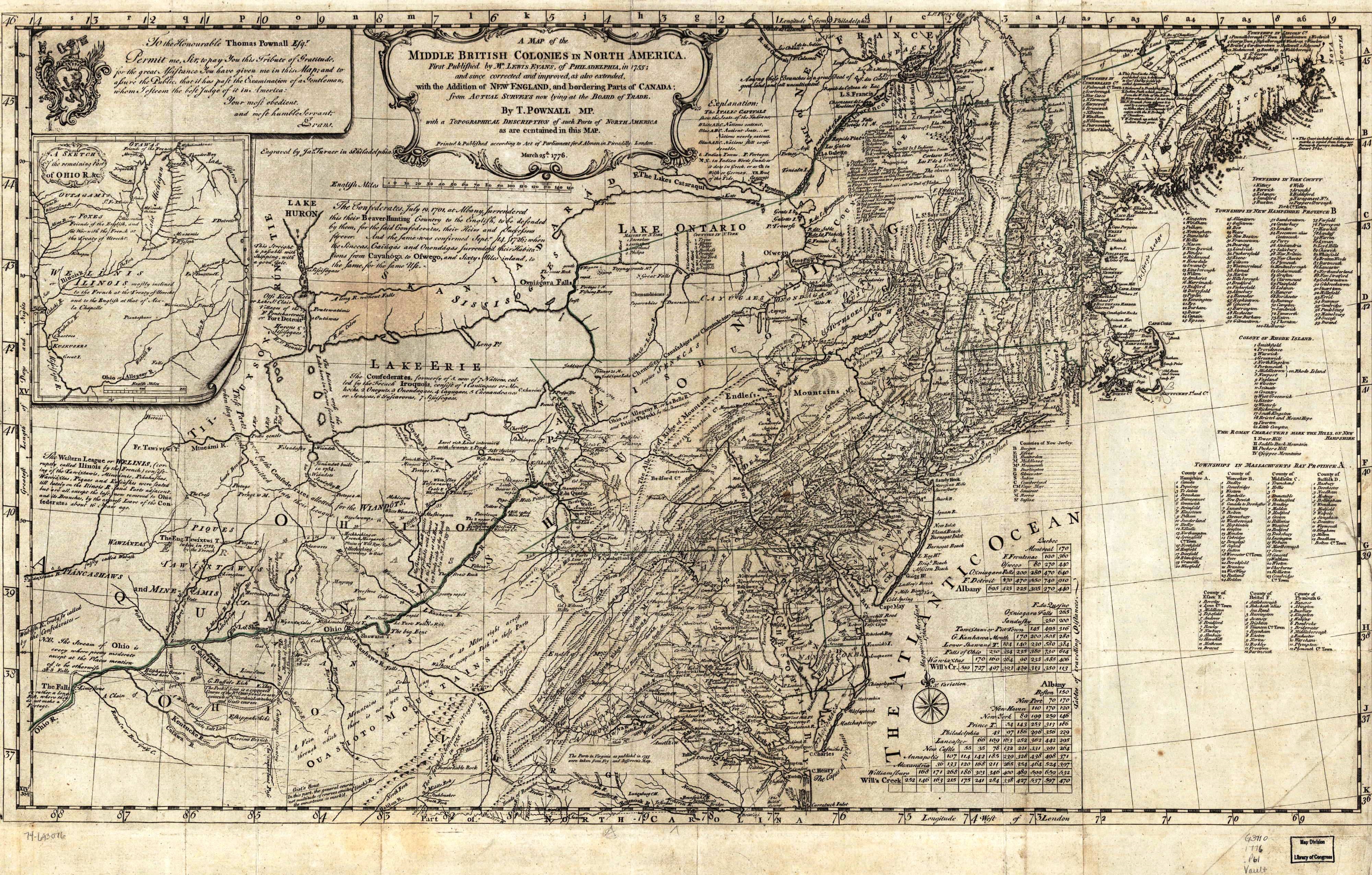
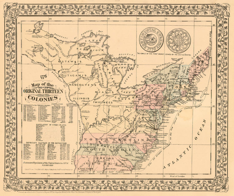 American Colonies |
||
| Revolutionary War Period | ||
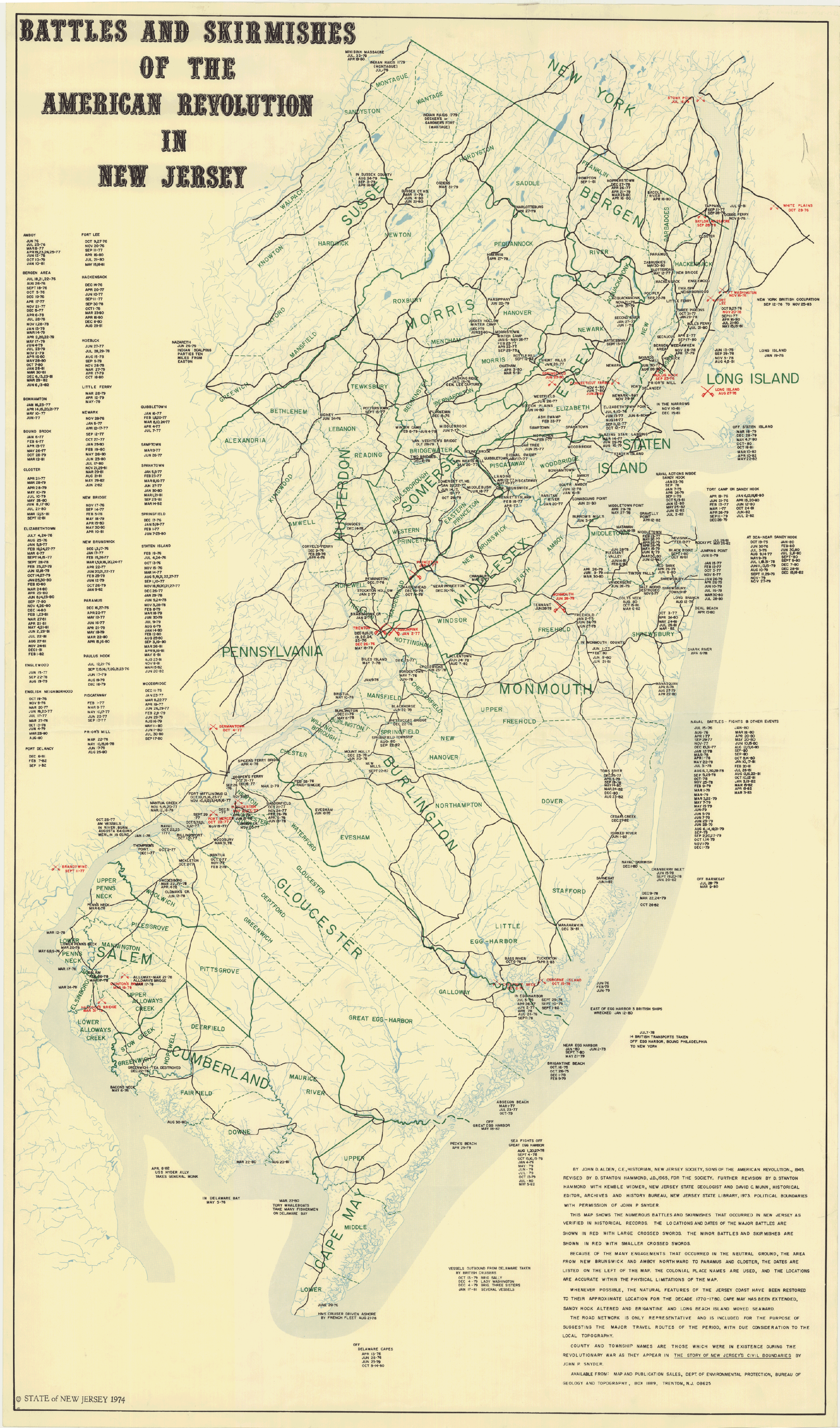 New Jersey Battles |
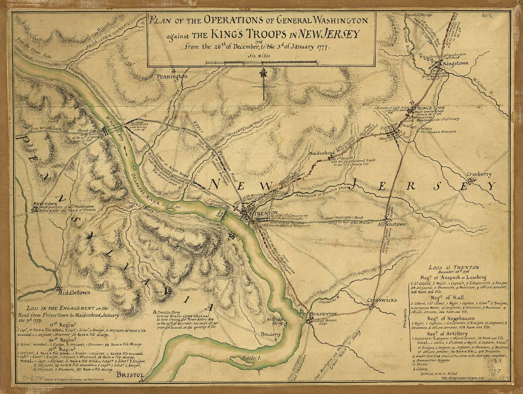 Plan map for the attack on Trenton NJ |
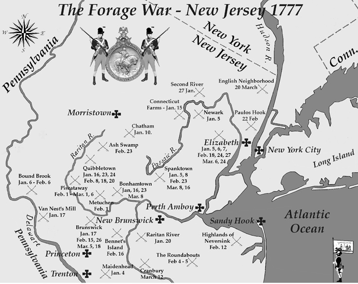 The Forage War 1777 |
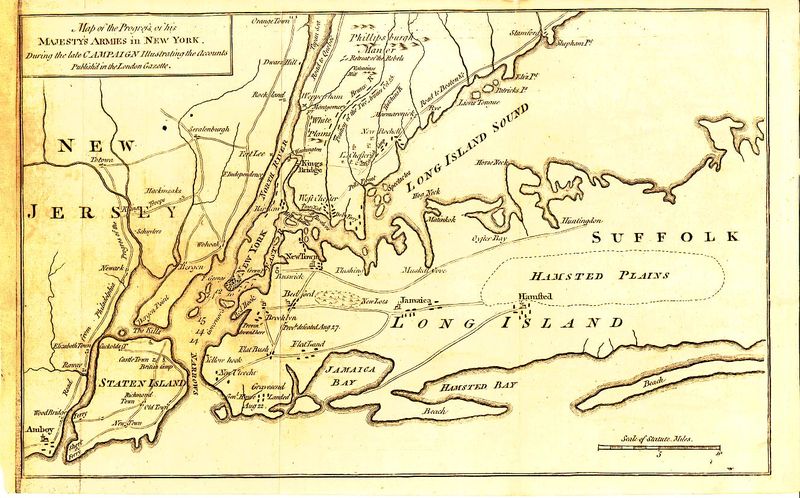 New Jersey and Long Island |
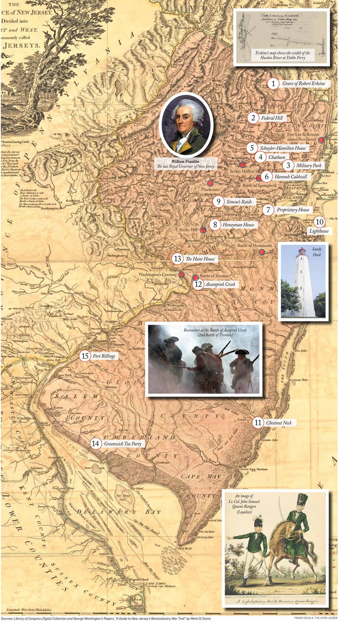 Revolution in New Jersey |
 Battle of Monmouth |
 Monmouth Map |
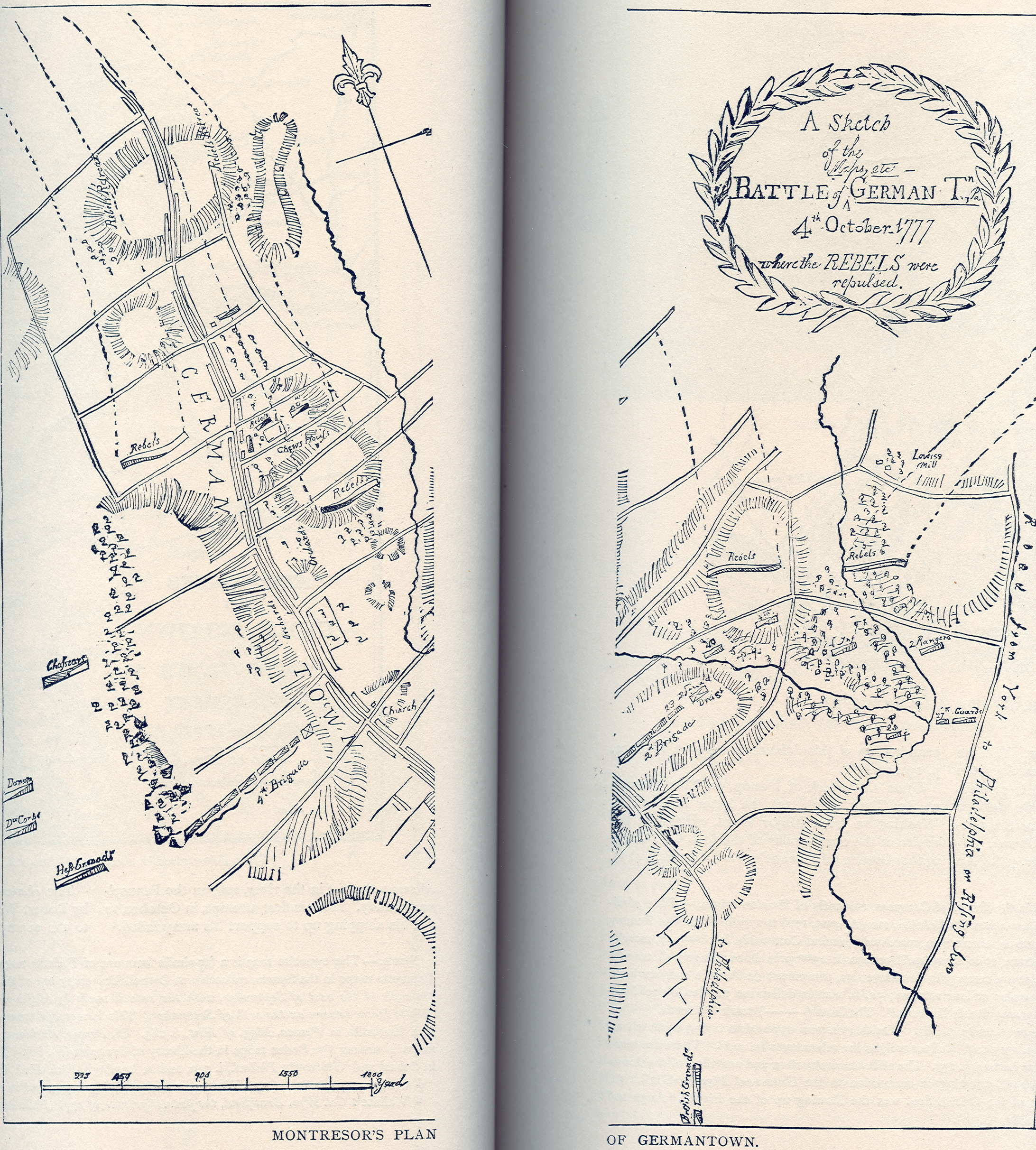 1777 Battle of Germantown montresor |
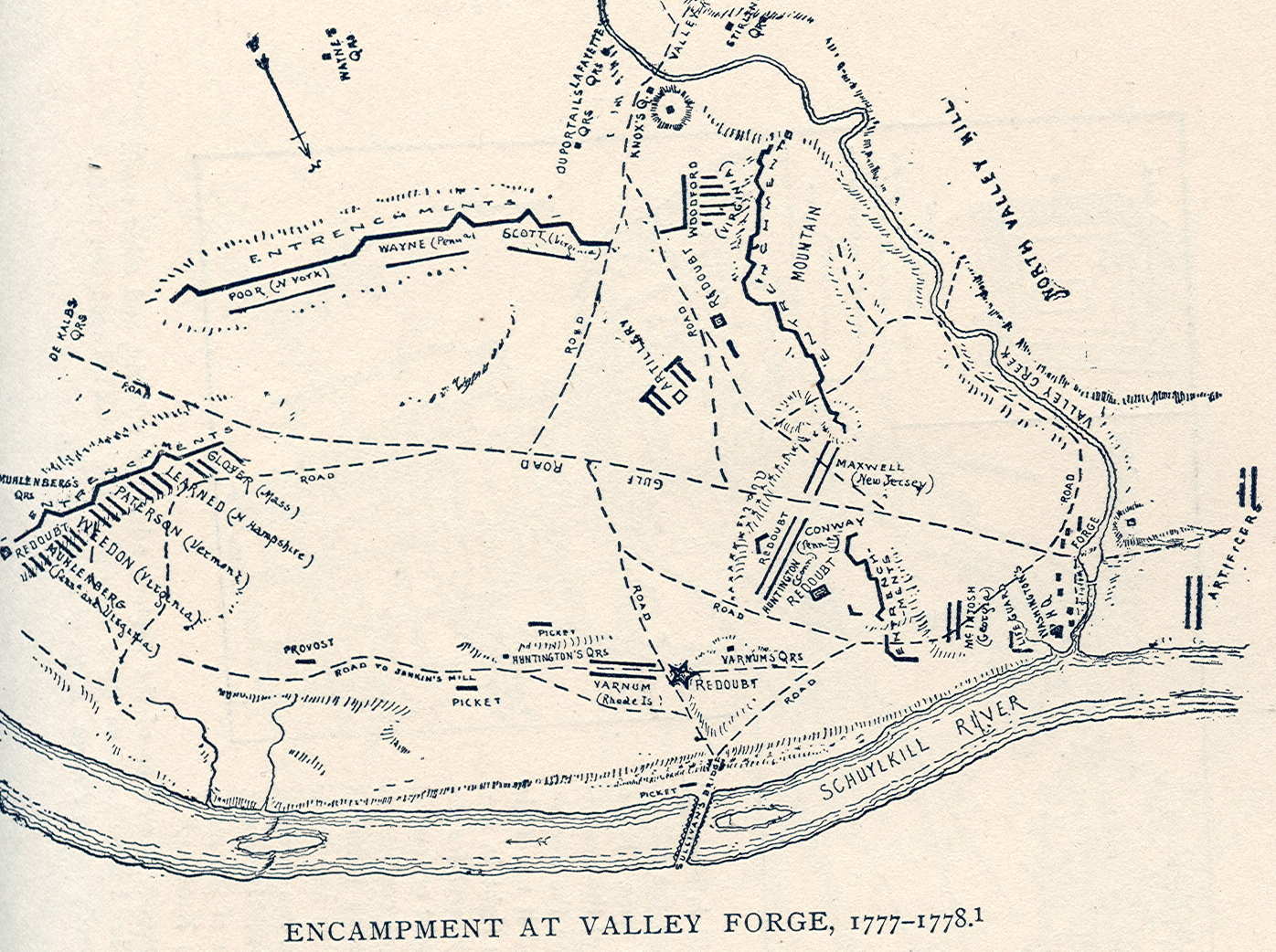 1777 – 1778 Valley Forge Encampment |
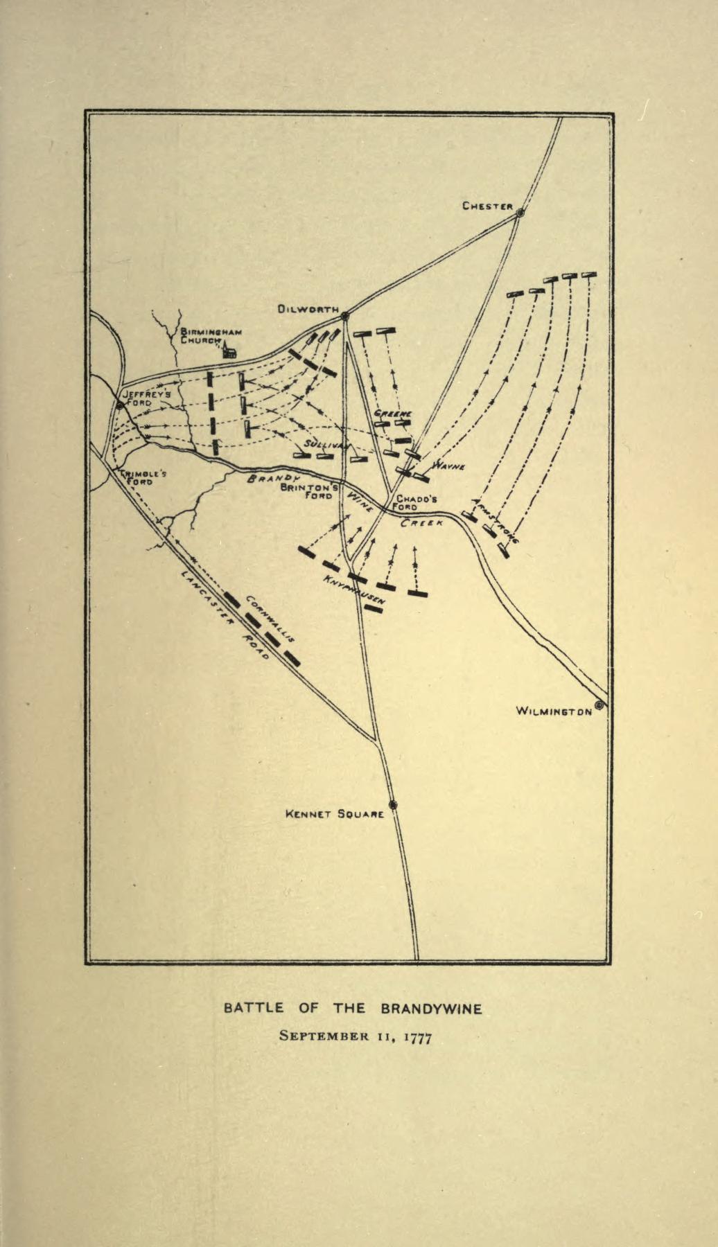 Battle of Brandywine |
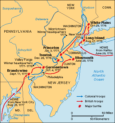 Path towards American Independence |
 Battle of Brandywine |
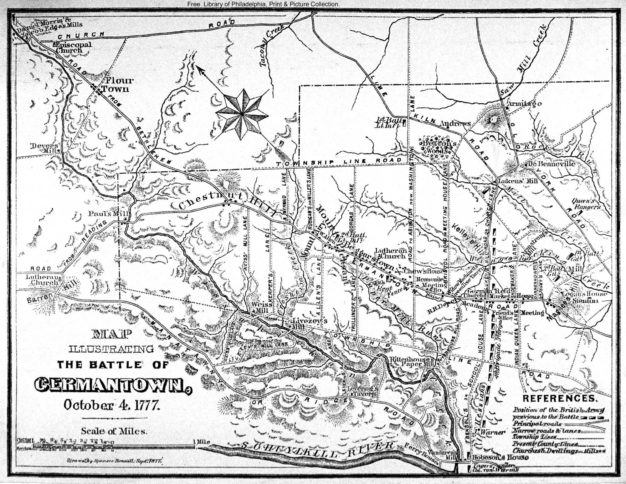 Battle of Germantown |
 British War Map 1776 |
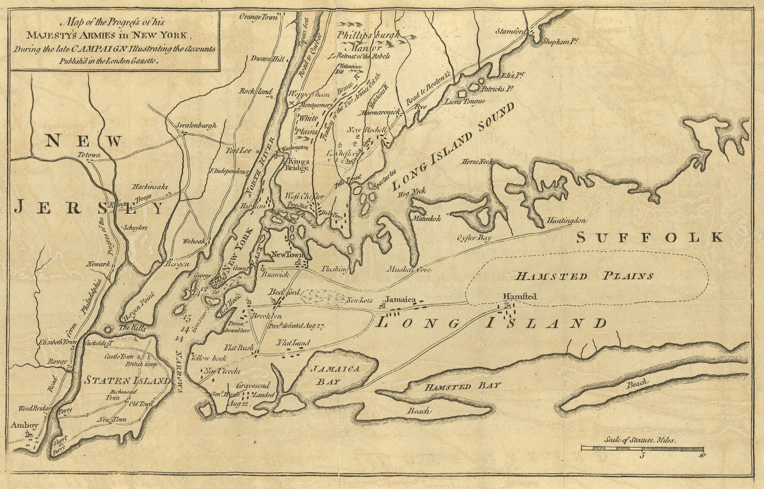 His Majesties Forces in New York |
| Post Revolutionary War | ||
| United Kingdom | ||
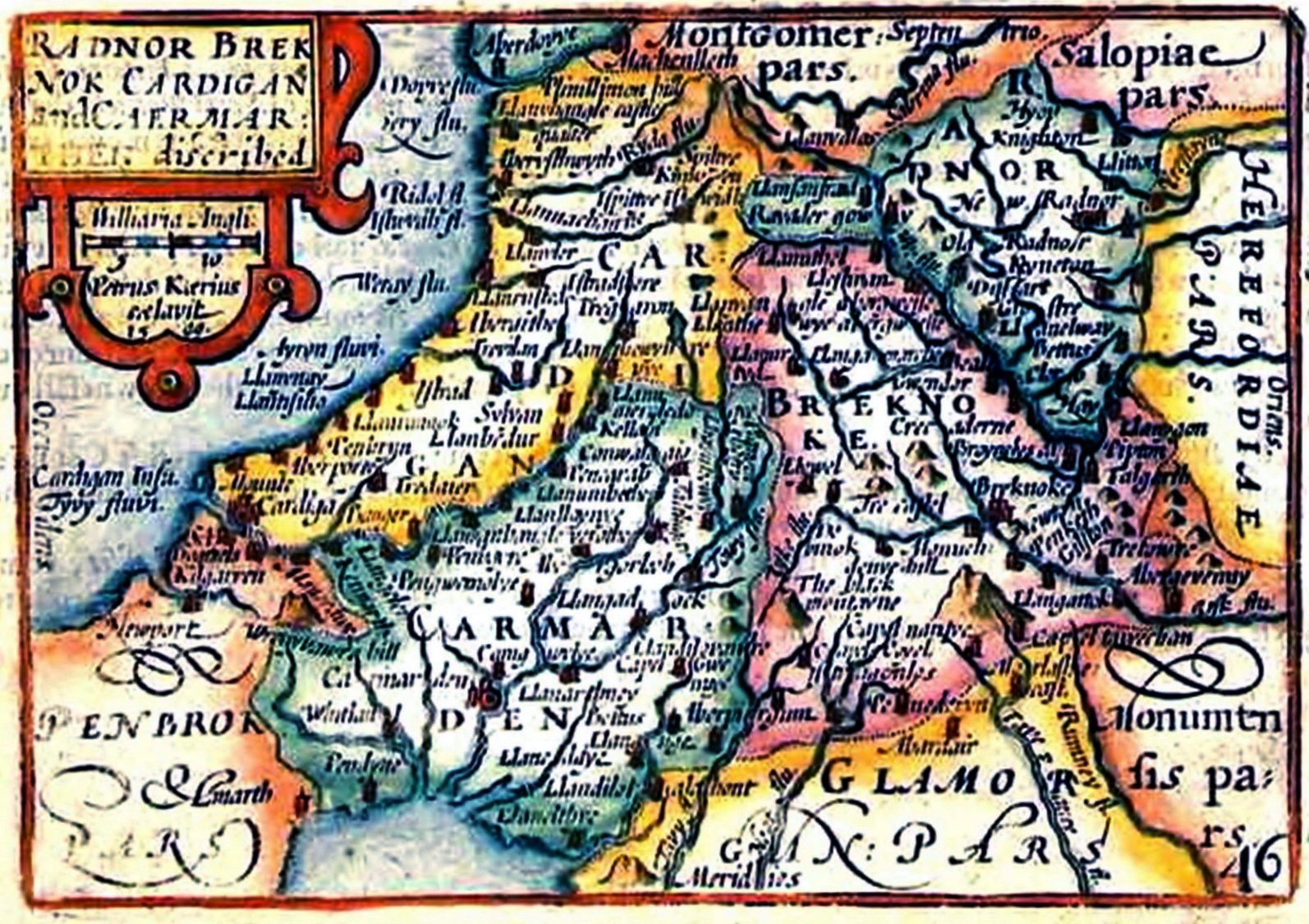 Radnor (in Wales) 1627 |
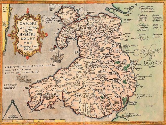 Earliest Known Map of Wales |
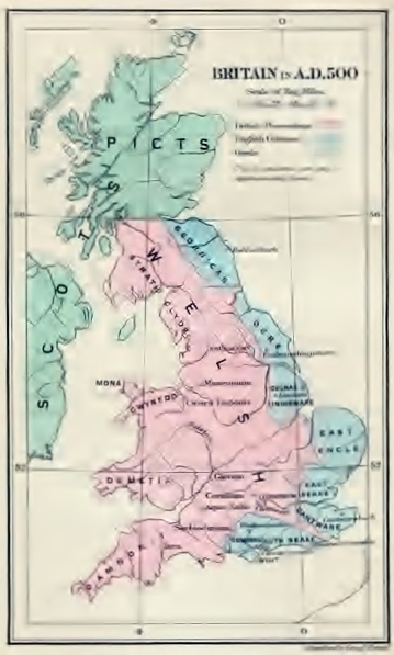 Brittain ad 500 |
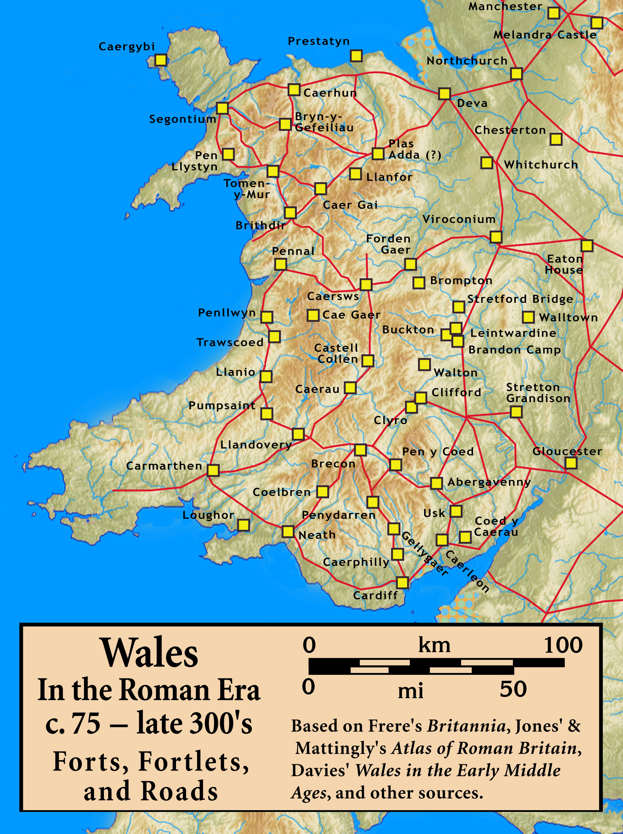 Roman Era Wales Roads c. 75 – late 300s |
||
